Table of Contents » Chapter 5 : Disciplines : Geospatial Analysis : Data Sources
Geospatial Data Sources
Contents
- Overview
- Geospatial Data Source Catalog
Accessing geospatial data is a fundamental step in conducting spatial analysis and geographic research. Various organizations and government entities provide free geospatial data, catering to a wide range of disciplines from environmental monitoring to urban planning. Locating the specific data you need for a project can be time consuming, but well worth it once it is located. I have constructed the following source catalog to provide a starting place for exploring and locating relevant data sources.
- African Biodiversity Network (ABN): Website: ABN Description: Offers data relevant to the conservation and use of Africa’s biodiversity.
- Atlas of Canada: Website: Atlas of Canada Description: Provides various maps and related information about Canada.
- Australian Government Geoscience Portal: Website: Geoscience Australia Description: Offers a wide range of geoscientific data and information about Australia.
- CGIAR-CSI: Website: CGIAR Consortium for Spatial Information Description: Provides a variety of agricultural, environmental, and climate-related geospatial datasets.
- DIVA-GIS: Website: DIVA-GIS Description: DIVA-GIS specializes in providing free geographic data, particularly useful for biodiversity research, conservation, and mapping of species distributions.
- European Environment Agency (EEA): Website: EEA Description: Offers data sets related to environmental monitoring and assessment in Europe.
- European Space Agency (ESA) - Copernicus Open Access Hub: Website: Copernicus Open Access Hub Description: This portal provides access to data from the Copernicus satellites and missions, offering a range of environmental and earth observation datasets.
- FAO GeoNetwork: Website: Food and Agriculture Organization of the United Nations Description: Provides a variety of datasets related to food and agriculture globally.
- Geofabrik: Website: Geofabrik Description: Regularly updated extracts from the OpenStreetMap database, available for free download.
- GeoGratis (Canada): Website: GeoGratis Description: A portal provided by the Canadian government offering a variety of geospatial datasets.
- Global Administrative Areas (GADM): Website: GADM Description: GADM provides datasets of boundaries for all countries worldwide, down to their lowest administrative level (e.g., states, provinces, departments).
- Global Land Cover Facility: Website: GLCF Description: Provides earth science data and products, focusing on satellite imagery and land cover.
- Humanitarian Data Exchange (HDX): Website: Humanitarian Data Exchange Description: Managed by the United Nations Office for the Coordination of Humanitarian Affairs, HDX contains datasets relevant to humanitarian crises worldwide, including geographic data.
- INPE (Brazilian National Institute for Space Research): Website: INPE Description: Offers satellite imagery and datasets related to the Brazilian territory, focusing on deforestation and environmental changes.
- LandScan: Website: LandScan Global Population Database Description: Hosted by the Oak Ridge National Laboratory, this database offers global population distribution data.
- LINZ Data Service: Website: Land Information New Zealand (LINZ) Description: Provides New Zealand's geospatial data, including land and sea maps.
- NASA Earth Data: Website: NASA Earth Observing System Data and Information System (EOSDIS) Description: NASA provides a wide variety of earth science data through this portal, covering atmospheric science, oceanography, land vegetation, and more.
- National Oceanic and Atmospheric Administration (NOAA): Website: NOAA Data Tools Description: NOAA provides datasets related to meteorology, oceanography, marine habitats, and much more, essential for environmental and climate research.
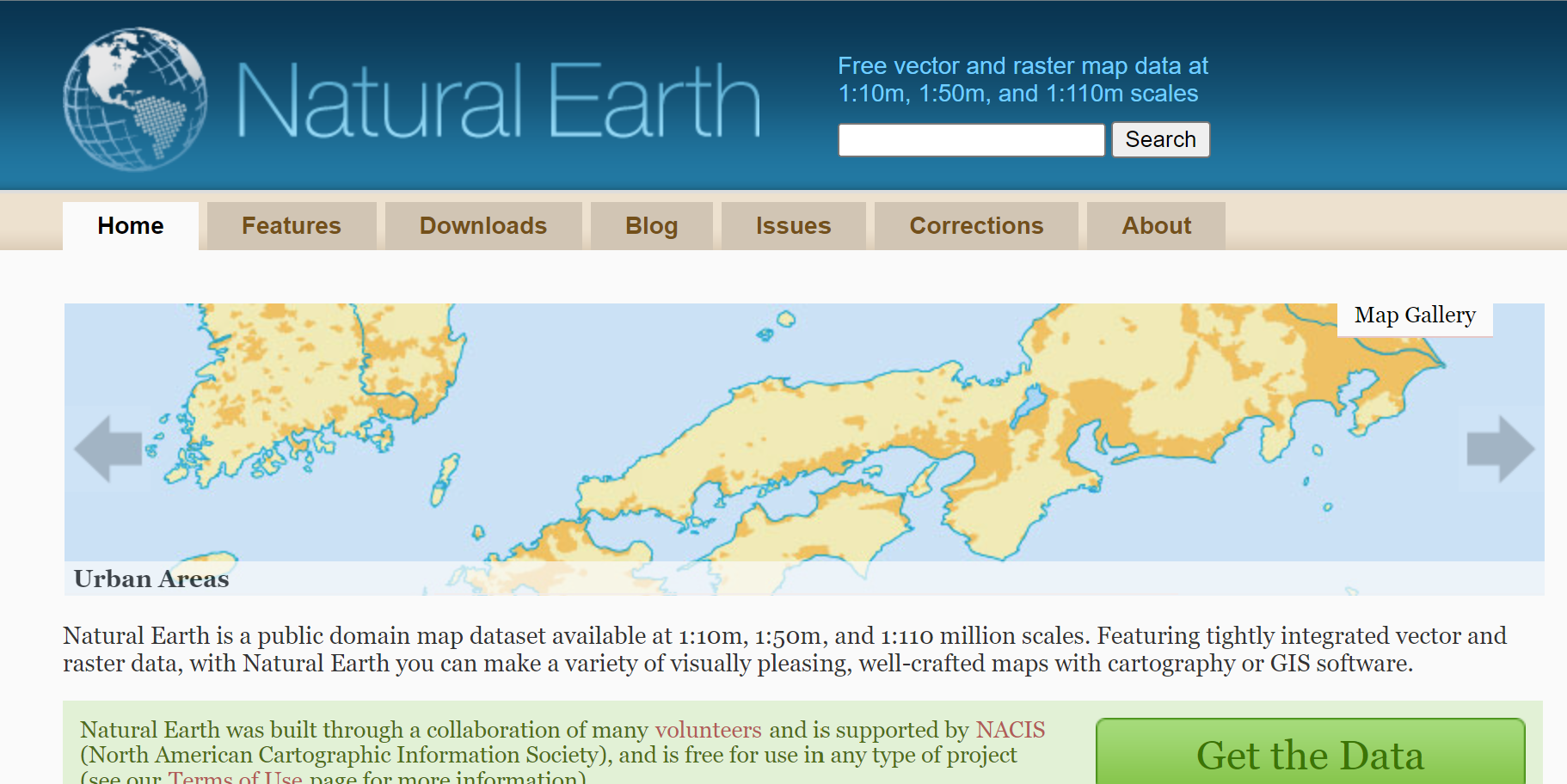
- Natural Earth: Website: Natural Earth Description: Natural Earth offers free vector and raster dataset downloads, ideal for making cartographic visualizations. The data is at different scales and includes both cultural and physical features.
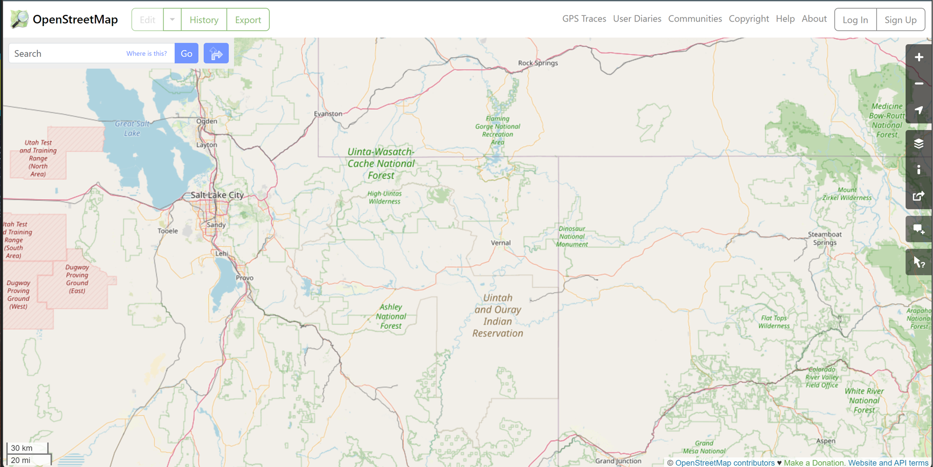
- OpenStreetMap (OSM): Website: OpenStreetMap Description: OpenStreetMap is a collaborative project that creates a free editable map of the world. The data from OSM is freely available for download and represents various geographic data contributed by people worldwide.
- OpenTopography: Website: OpenTopography Description: A platform providing access to high-resolution topographic data and tools.
- Protectedplanet: Website: Protectedplanet Description: Offers data on protected areas worldwide, including national parks, nature reserves, and conservation regions.
- Sentinel Hub: Website: Sentinel Hub Description: Offers data from the European Union's Copernicus Programme, including environmental and earth observation data.
- UNEP Environmental Data Explorer: Website: UNEP Description: The United Nations Environment Programme offers data on themes like climate change, water, and policy.
- US Census Bureau: Website: US Census Bureau GIS Data Description: The Census Bureau provides spatial data related to demographic and economic statistics, including boundaries, census tracts, and more.
- US Geological Survey (USGS): Website: USGS EarthExplorer Description: The USGS EarthExplorer provides a wealth of data from the US Geological Survey, including satellite imagery, maps, and various datasets related to geology, climate, geography, and more.
- USDA National Agricultural Statistics Service: Website: USDA NASS Description: Offers agricultural data from the United States, including crop boundaries, agricultural practices, and production.
- World Bank - Data Catalog: Website: The World Bank Description: Includes a wide variety of datasets, with many relevant to economic and social geospatial analysis.
- World Pop: Website: WorldPop Description: Provides population data for low and middle-income countries.
- World Resources Institute (WRI): Website: WRI Resource Watch Description: Provides various global datasets, focusing primarily on sustainability and the environment.
